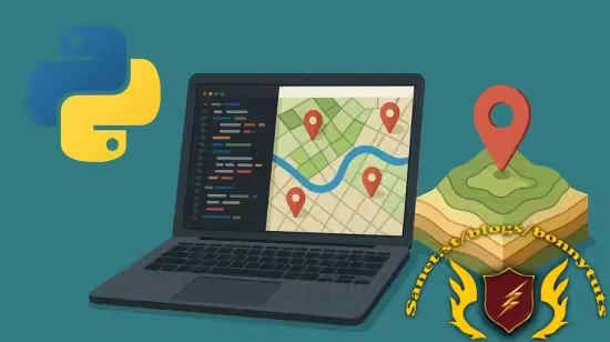
掌握Python与ArcPy、PyQGIS,实现GIS工作流自动化。本课程教你处理矢量/栅格数据、构建NDVI作物分析等真实项目,零编程基础也可学,适用于地理空间分析实战。
原始标题:Python for GIS Automation and Geospatial Applications
Published 8/2025
Created by Senior Assist Prof Azad Rasul
MP4 | Video: h264, 1280×720 | Audio: AAC, 44.1 KHz, 2 Ch
Level: All | Genre: eLearning | Language: English | Duration: 39 Lectures ( 5h 7m ) | Size: 2.82 GB
“Automate GIS Workflows and Build Real-World Geospatial Projects with ArcPy, PyQGIS, and Python.
What you’ll learn
Automate GIS tasks with ArcPy & PyQGIS for efficient workflows.
Process vector & raster data for geospatial analysis in Python.
Build real-world projects like NDVI & crop health analysis.
Master data visualization & zonal statistics with Pandas, NumPy.
Requirements
Basic Computer Skills.
Interest in GIS.
No Python Experience Needed.
此处内容需要权限查看
会员免费查看