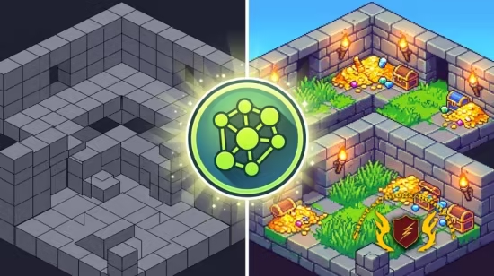
本课程介绍QGIS中的高级GIS分析工具及AI插件,涵盖矢量与栅格数据分析、AI数字化航片、拓扑建模、自动化处理及3D动画,适合高级用户提升空间分析能力。
原始标题:Advanced QGIS Analysis with AI and Machine Learning
Released 8/2024
MP4 | Video: h264, 1280×720 | Audio: AAC, 44.1 KHz, 2 Ch
Skill Level: Advanced | Genre: eLearning | Language: English + srt | Duration: 2h 22m | Size: 1.3 GB
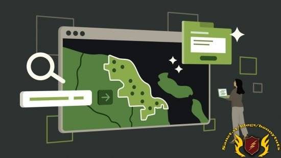
In this course, Gordon Luckett—President of Arrow Geomatics, Inc.—guides you through the advanced GIS Analysis tools available in QGIS, as well as some advanced plug-ins that use AI to manage and interpret Air Photographs. Learn how to analyze vector data, manipulate raster data, and digitize vector data with AI. Find out how to generate new data with raster calculations, build topology models for networks, and manage raster-to-vector conversions. Plus, explore ways to automate processes and animate 3D models.
此处内容需要权限查看
会员免费查看